Sinton Family Trees
Sinton Family Trees
Sinton Family Trees
Sinton
Family
Trees
Family
Trees
Sinton roots in Ireland and Scotland
PHOTOGRAPHS of RELIGIOUS BUILDINGS
Church of Ireland
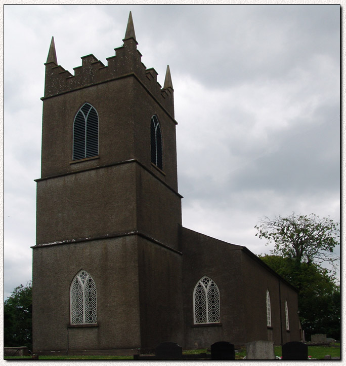
St. John's Parish Church, Maddan, Co. Armagh, Northern Ireland, United Kingdom
16 Jun 2010 © Sinton Family Trees
The church uses the spelling Madden but the Public Record Office for Northern Ireland and the Ordinance Survey use the spelling Maddan.
Location: North 54° 16' 31" West 6° 45' 25" or 54.275245, -6.756981
If your Satellite Navigation system accepts co-ordinates then use the ones above for directions to this exact location.
If your Satellite Navigation system accepts co-ordinates then use the ones above for directions to this exact location.
To start Google Street View from this location click the Marker at the centre of the map.
This site is completely FREE but it does need money to fund research and for upkeep.
If you would like to contribute then please click on the Donate button.
Thank you for your support.
If you would like to contribute then please click on the Donate button.
Thank you for your support.
Produced using software developed by Bob & Robert Sinton
All rights reserved © 2002 - 2024 Sinton Family Trees